Inside the Global Race to Map the Ocean Floor
We have more detailed maps of the surface of Mars than we do of our own ocean floor. A coalition of research institutions and technology companies is trying to change that — and discovering things nobody expected along the way.
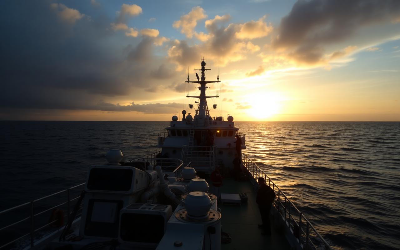
In a cramped operations room aboard a research vessel currently somewhere in the South Pacific, a team of marine technicians is watching a monitor that displays, in shifting blues and greens, the seafloor passing 4,000 metres below the ship’s hull. The image updates every few seconds as multibeam sonar pulses sweep outward from the vessel’s transducer arrays, each ping mapping a swathe of seafloor roughly three kilometres wide.
It is painstaking work. At the ship’s current speed and the depths involved, the team will map approximately 1,200 square kilometres of seafloor today. The total area of the world’s ocean floor is 361 million square kilometres. At this rate, completing the survey would take centuries.
This is the fundamental challenge facing the Seabed 2030 project — a collaborative initiative coordinated by the General Bathymetric Chart of the Oceans and the Nippon Foundation, which has set the audacious goal of producing a complete, high-resolution map of the entire ocean floor by the end of this decade. As of the most recent accounting, approximately 26 percent of the seafloor has been mapped to modern standards. The remaining 74 percent — an area larger than the combined land surface of every continent — is known only from low-resolution satellite-derived estimates that cannot reveal features smaller than several kilometres across.
Why It Matters
The practical significance of this ignorance is difficult to overstate. The ocean floor is not a flat, featureless plain: it is a landscape of extraordinary complexity, containing the planet’s longest mountain range (the mid-ocean ridge system, stretching 65,000 kilometres), its deepest trenches, vast volcanic plateaus, and thousands of seamounts — underwater mountains that never break the surface — that serve as critical biodiversity hotspots and navigation hazards for submarine cables and pipelines.
Tsunami modelling depends heavily on knowledge of seafloor topography. So does the routing of underwater communications cables, which carry more than 95 percent of global internet traffic. Climate models that track the movement of deep ocean currents — which play a major role in regulating global temperatures — are limited by our ignorance of the topography those currents navigate. “We are trying to model a system whose container we don’t understand,” says Dr. Hannah Schmidt, a physical oceanographer at the Alfred Wegener Institute. “It’s like trying to predict how a river will behave without knowing the shape of its banks.”
The Technology Revolution
What has changed the calculus of the mapping project is technology. Autonomous underwater vehicles — essentially sophisticated underwater drones equipped with sonar arrays — can now operate at full ocean depth for periods of up to 30 hours, descending to map seafloor features with a resolution measured in metres rather than kilometres. These vehicles can be deployed from research vessels that then pursue other activities, effectively multiplying the mapping capacity of a single ship.
More recently, a small number of companies have begun deploying large fleets of surface autonomous vehicles — unmanned sailing drones equipped with sonar — that can cover vast ocean areas at low cost, albeit at lower resolution than the deep-diving AUVs. The combination of these two technologies — broad-brush surface surveys to identify features of interest, followed by targeted deep-vehicle investigation — has dramatically accelerated the pace of mapping.
Artificial intelligence has also entered the workflow, processing the raw sonar data and identifying features for human review far faster than was previously possible. Machine learning systems trained on existing bathymetric data can now flag anomalies — an unexpected ridge, an unusually flat plain, a potential seamount — within hours of the data being collected.
The Discoveries
The mapping effort has already produced surprises. A seamount chain of previously unknown extent was discovered in the South Atlantic in 2024, its individual peaks rising more than 2,000 metres from the surrounding abyssal plain — mountains larger than any in the British Isles, hidden in plain sight beneath 3,000 metres of water. Surveys of the Arctic seafloor have revealed a complex landscape of ridges and basins that is already becoming relevant as receding sea ice opens new shipping routes whose seabed underpinning was essentially unknown.
Perhaps most consequentially, detailed mapping of areas targeted for deep-sea mining — a prospect that has attracted both industrial interest and fierce environmental opposition — has revealed that the biological communities inhabiting the seafloor are far more extensive and complex than low-resolution surveys suggested. In several cases, areas considered suitable for nodule mining turned out to be located directly adjacent to hydrothermal vent systems supporting unique ecosystems found nowhere else on Earth.
The Race Dimension
The mapping effort is not without competitive dynamics. Several national navies conduct extensive seafloor surveys for strategic purposes and do not share data. China has invested heavily in its own mapping capabilities and operates a fleet of research vessels whose survey data is not routinely contributed to international databases. The Seabed 2030 project depends on voluntary data sharing, and the data that remains classified or commercially sensitive represents a significant gap.
“The ocean is global commons,” says project director Dr. Martin Jakobsson. “The data about it should be too. But we live in a world where national interests and commercial interests don’t always align with that principle, and we have to work within that reality.” The project has nonetheless made extraordinary progress, and the maps it has already produced have already changed our understanding of the planet’s least-known surface.
Back on the research vessel in the South Pacific, the monitor continues its slow scroll. Another 1,200 square kilometres today. Tomorrow, another 1,200. The project is on schedule. The ocean, patient as ever, continues to yield its secrets one sonar ping at a time.